
DataQuoll
Answers About Any Place in Australia
// the problem
Australian public data is scattered across hundreds of agencies. Eight states and territories publish emergency incidents in their own formats on their own schedules. Disaster declarations sit in one federal register, river gauges in another, industry calendars in union PDFs. Anyone who needs a straight answer about a place, an insurer pricing risk, a developer building a safety app, a contractor planning around a shutdown, has to wrangle all of it themselves.
// the solution
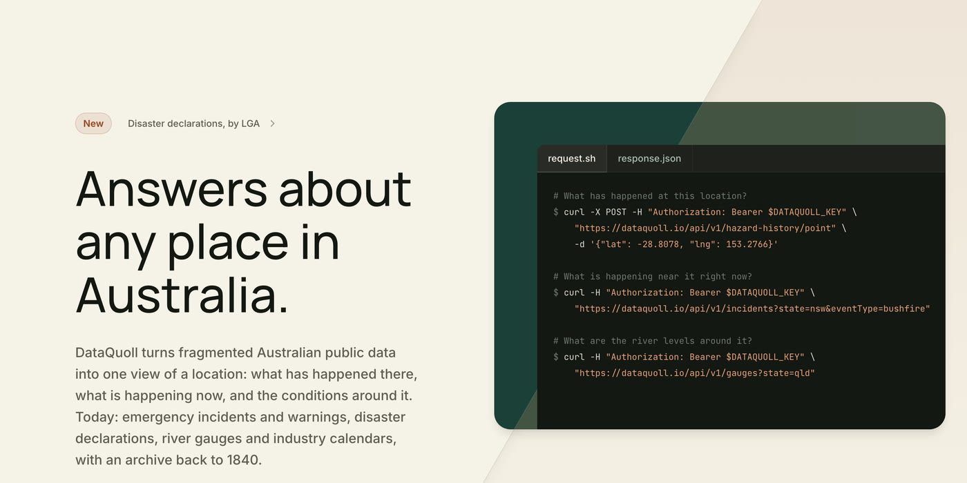
DataQuoll turns fragmented Australian public data into one view of a location: what has happened there, what is happening now, and the conditions around it. One schema, one key, one place to ask.
The free tier covers 5,000 requests a month and never asks for a card.
// what it covers
Live incidents and warnings from 31 official feeds across all 8 states and territories, plus national sources like Geoscience Australia. Every response is GeoJSON native, so it plugs straight into Leaflet, Mapbox, or any mapping library.
Hazard history going back to 1840, an archive of 4.8 million records you can query against any point or postcode. Disaster declarations resolved to the LGA. River gauges with flood classifications. Industry calendars for all 8 jurisdictions, covering RDOs, public holidays, school terms and shutdowns, read from the ETU, CEPU and CFMEU branch calendars and checked against the Fair Work list.
// live map
The [live map](https://dataquoll.io/map) shows every active incident in the country in real time, colour-coded by event type, filterable by state and type, with polygon overlays where the source provides them.
// built for agents too
DataQuoll ships an MCP server, so Claude, Cursor and other agent tooling can query Australian public data directly without anyone writing a client first. The same data backs Smart Batch's days-off calendar.
// core features
// frequently asked questions
Is DataQuoll free to use?+
Yes. The free tier gives every developer 5,000 requests a month with no credit card and no approval process. Just grab an API key and start building.
What data does DataQuoll cover?+
Live emergency incidents and warnings, hazard history back to 1840, disaster declarations by local government area, river gauges with flood classifications, and industry calendars covering RDOs, public holidays, school terms and shutdowns for all 8 states and territories.
Where does the data come from?+
DataQuoll aggregates 31 official government feeds across all 8 Australian states and territories, plus national sources like Geoscience Australia. Sources include NSW RFS and SES, QLD QFD, VIC EMV and CFA, SA CFS/MFS/SES, WA DFES, ACT ESA, TAS TFS, and NT PFES. Industry calendars come from the ETU, CEPU and CFMEU branch calendars, checked against the Fair Work Ombudsman list.
Is the response format GeoJSON?+
Yes. Every spatial response is a valid GeoJSON FeatureCollection so it plugs straight into mapping libraries like Leaflet, Mapbox, OpenLayers, deck.gl, or any GeoJSON-compatible client.
Can I use DataQuoll from Claude or Cursor?+
Yes. DataQuoll ships an MCP server, so agent tooling like Claude and Cursor can query Australian public data directly without writing a client first.
Can I rely on DataQuoll for safety-critical decisions?+
No. DataQuoll surfaces public data and may be delayed, incomplete, or inaccurate. Always defer to your state's official emergency services for safety-critical decisions.
Was this previously called EmergencyAPI?+
Yes. DataQuoll started as EmergencyAPI, a unified feed of Australian emergency incidents. The name changed as the platform grew past incidents into declarations, gauges, calendars and historical data. Existing links to emergencyapi.com redirect here.
// tech stack
// from the sey solutions ecosystem